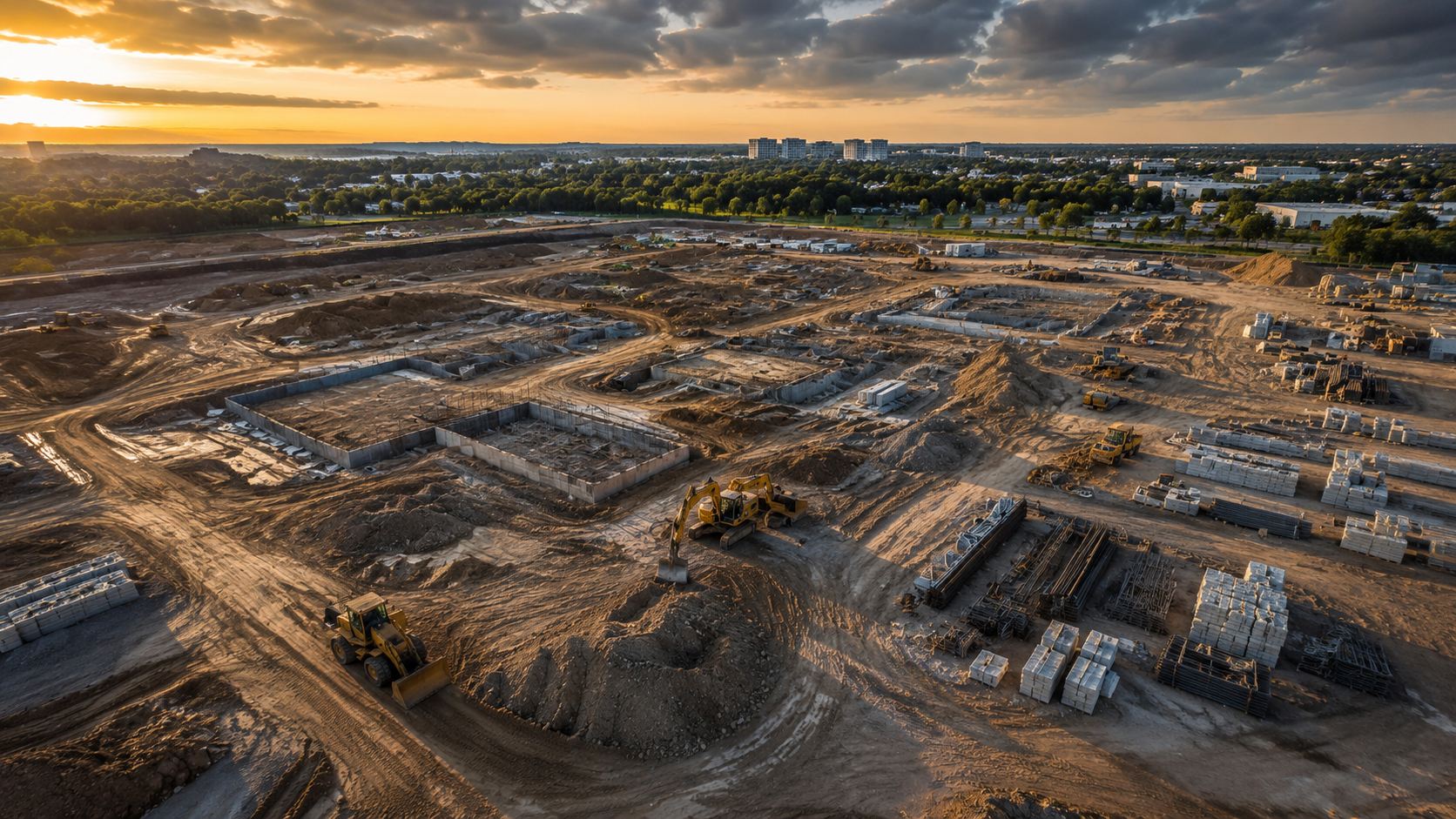
The whole site.
Down to the inch.
Drone mapping and inspections that turn your job site into data you can measure, share, and act on.
Get a QuoteDATA
OPERATIONS
MONEY
Data you can measure.
Decisions you can trust.
From precise mapping to detailed 3D models and inspections, we deliver accurate, actionable results for every project.
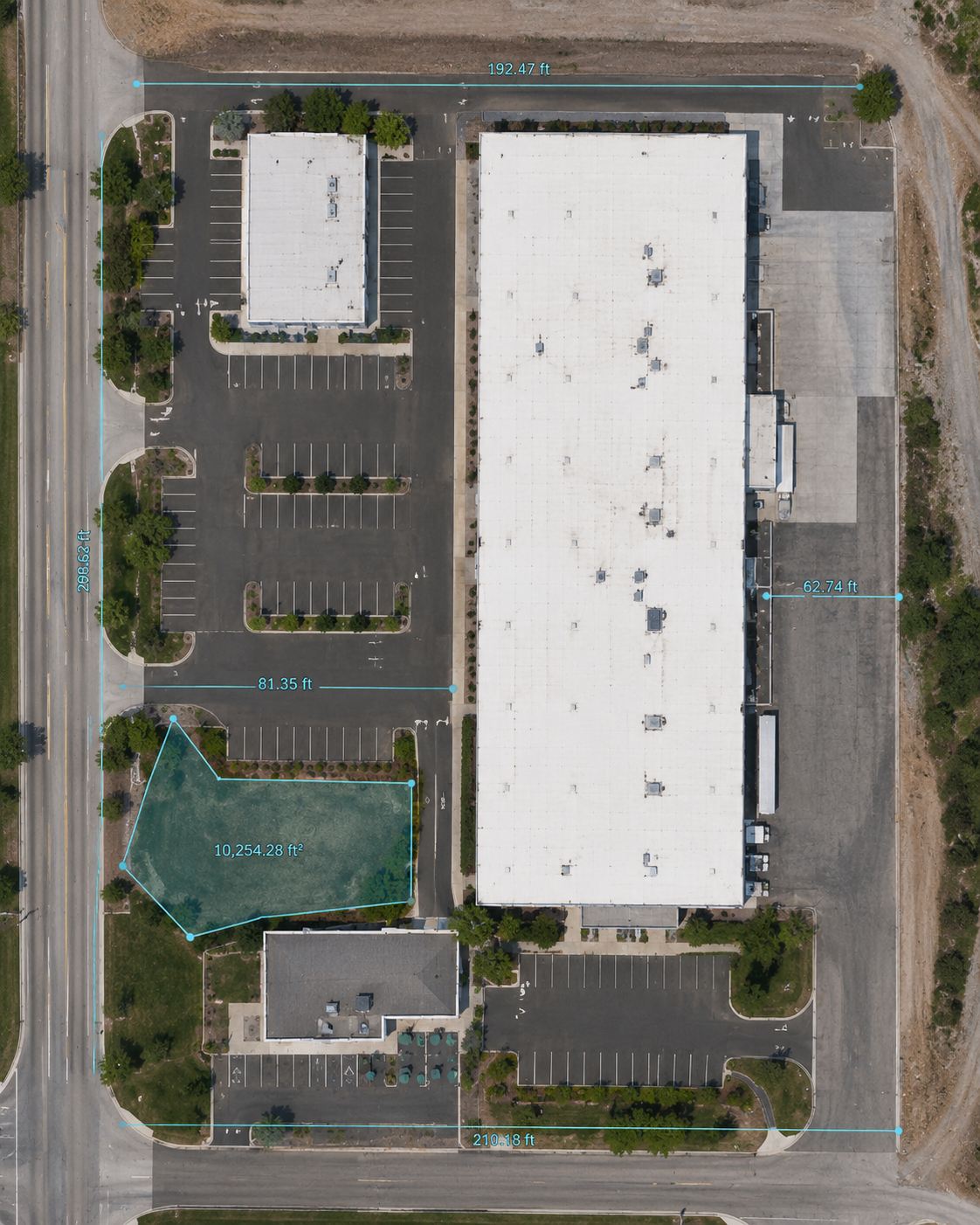
- Centimeter-accurate ortho maps
- Defensible volume & elevation
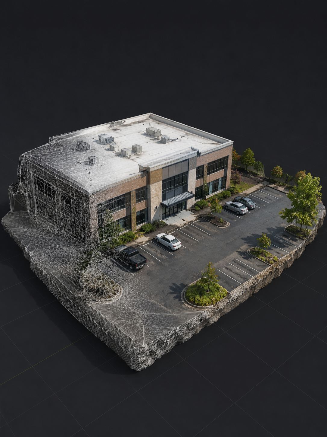
- Interactive 3D in any browser
- Delivered in 48 hours
Comprehensive aerial data.
DRONE MAPPING
Orthomosaic maps, 3D models, and point clouds — your whole site captured, measurable from any angle.

INSPECTIONS
High-resolution roof, facade, and infrastructure inspections with annotated imagery — no lifts, no crews at height.
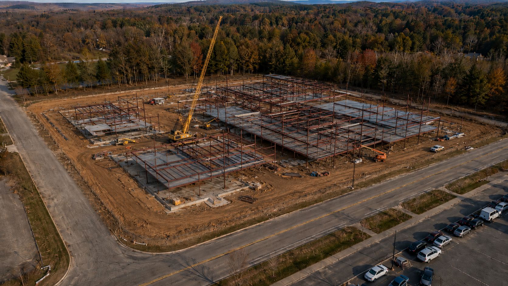
PROGRESS TRACKING
Scheduled flights that document your build date by date — one visual record every stakeholder trusts.
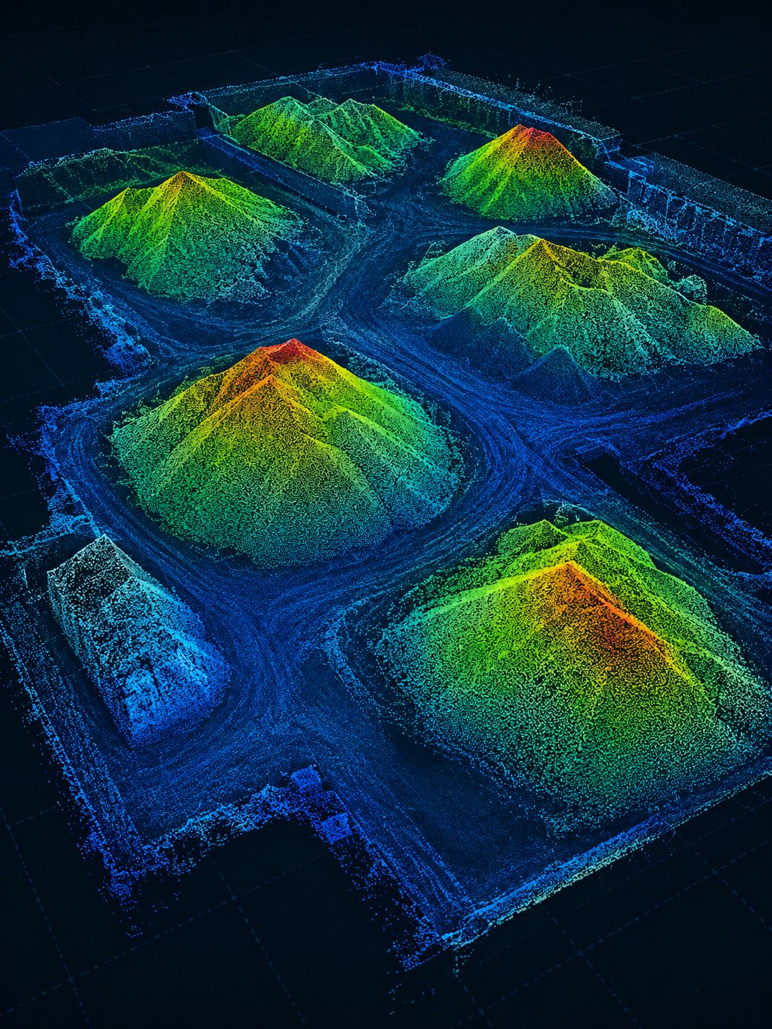
STOCKPILE & VOLUME
Measured cut/fill calculations and stockpile reports built from a dense 3D model — defensible numbers for billing and audits.
Three steps to your data.
Book a Flight
Tell us your site and what you need. We confirm the plan and handle all FAA airspace authorizations.
We Capture
We fly your site with commercial-grade equipment — quick, non-invasive, no disruption to your operations.
You Get Files
Maps, 3D models, and reports delivered in 48 hours — in formats that drop straight into your workflow.
Ready to see
your site from above?
Let's capture the data that moves your project forward.
Let's Talk